Life Hacking 2.0: Adding Geographical Filters to Flat Search Websites with QGIS and Python
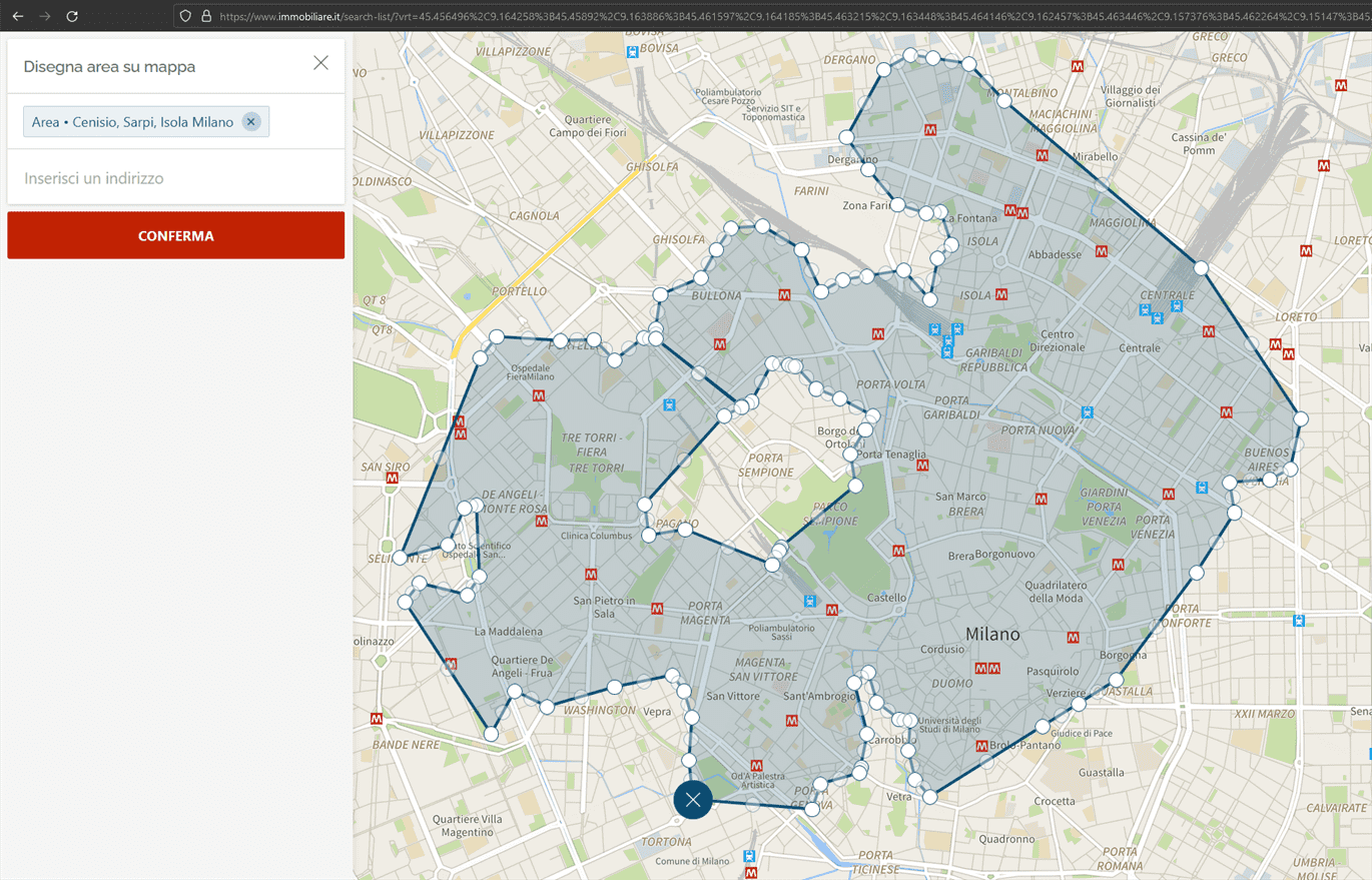
Create sophisticated walking isochrones for Milan’s metro stops and search for flats with immobiliare! Reproducible for all of Italy!

Create sophisticated walking isochrones for Milan’s metro stops and search for flats with immobiliare! Reproducible for all of Italy!

Control all functions of your external monitor with a click on your (wireless) keyboard! Lower brightness, switch input, raise contrast or switch power modes with Python and Monitorcontrol.
| |
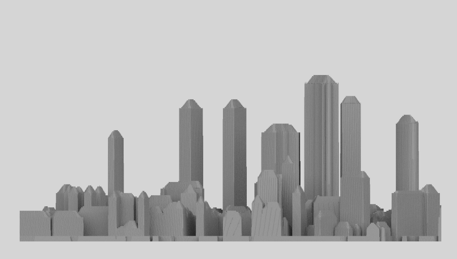
Create a free skyline for any city on earth!
Basic River Animations with QGIS, Aerialod and Blender - Mosel from Trier to Traben-Trarbach
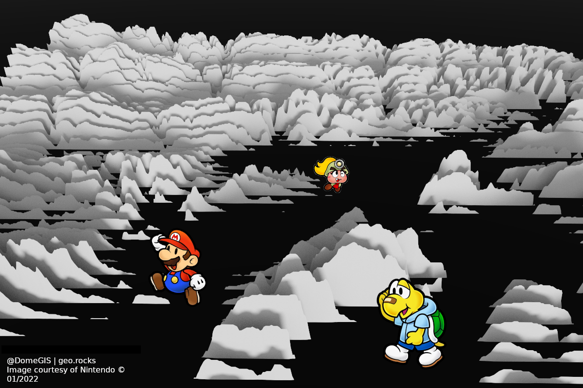
Pretty Paper (Mario) Maps quickly done with QGIS and Aerialod.
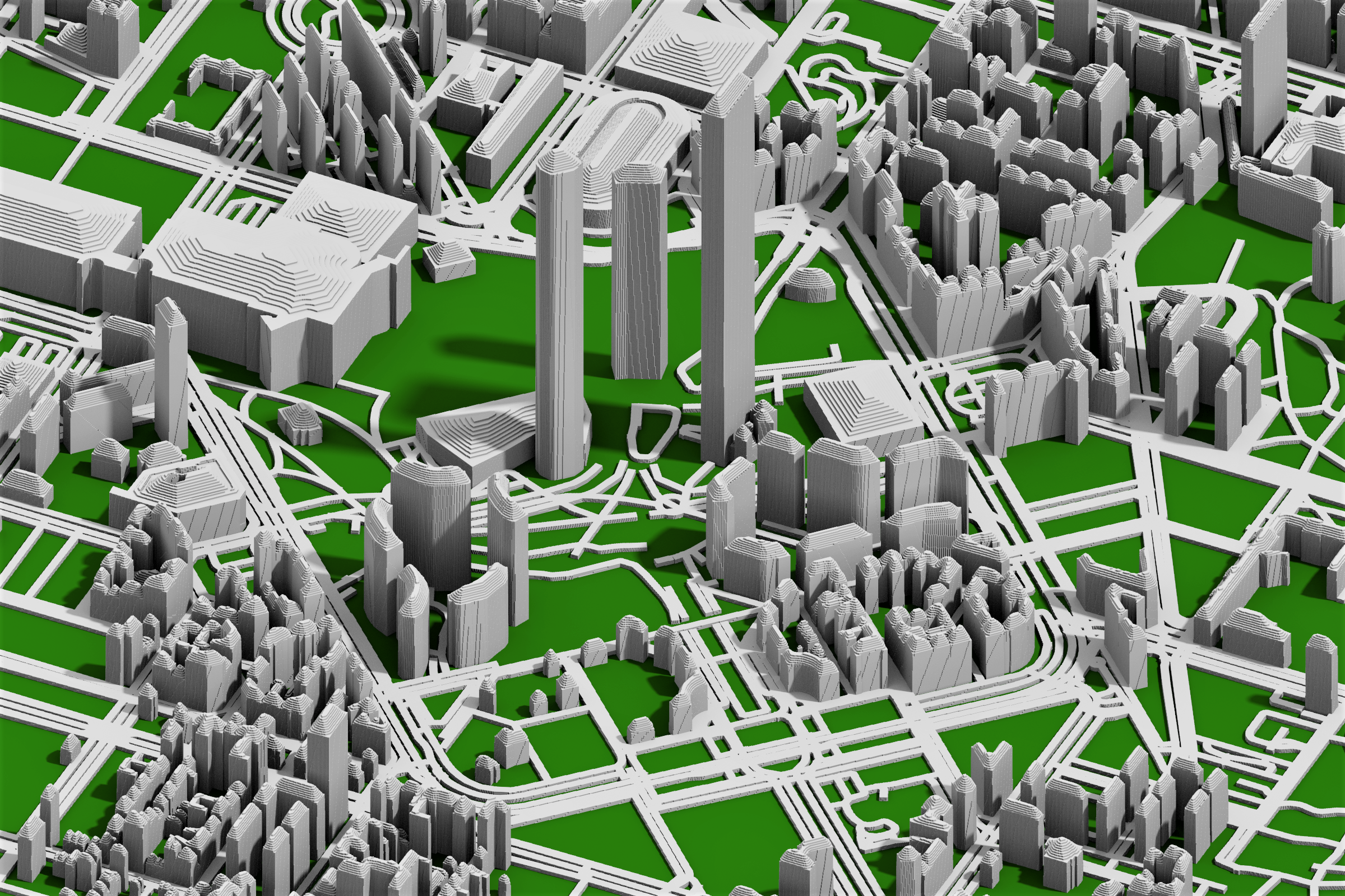
OSM data offers a vast amount of information about our cities. In this guide I focus on working and styling OSM building data for 3D-modeling in Aerialod for close-to-reality models.
Tl;dr: Use OSM building levels, emulate roofs with shapeburst effect and use Sketchfab for interactive 3D models
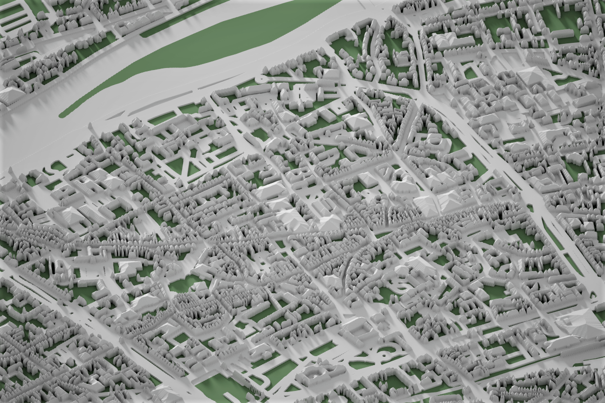
There are few cities providing open source LIDAR data for 3D-modeling. However, leveraging OSM building, road and landuse data gives you neat city models in no time!